Route 66 Interactive Maps
Map Showing Cities, Attractions and Points of Interest
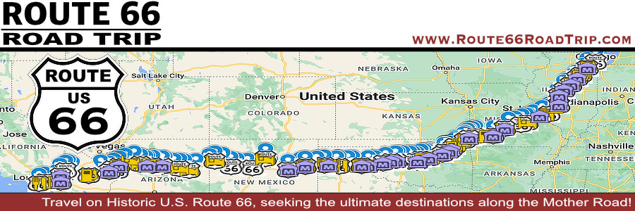
Shown below is a detailed, interactive Google map of over 200 popular cities, attractions and points of interest along Historic Route 66 from start to finish, from Chicago to Santa Monica.
Is this all of them? Certainly not, as there are literally thousands of places to see along the Mother Road! Hopefully this map will help you plan your next Route 66 road trip.
Zoom / pan map for more detail, and click on icons for information on points of interest and photos. Click on this icon You can enable/disable the following layers by checking/unchecking the layer in the left column of the map... |
|
Route 66 cities and towns |
Attractions and points of interest |
Museums |
Classic motels and lodging |
Classic service stations |
Classic drive-ins, cafes and restaurants |
Best-Selling Route 66 Books and Maps at our Amazon Store |
||
| Route 66 Travel Guide - 202 Amazing Places by Mark Watson 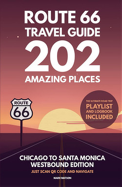 |
Route 66 Full-throttle Adventure Handbook, by Drew Knowles 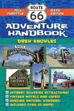 |
|
| EZ66 Guide for Travelers (5th Edition) by Jerry McClanahan 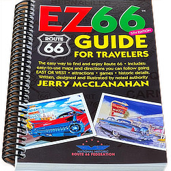 |
Rand McNally 2026 Road Atlas Large Scale Spiral Bound  |
|
|
||
About These ProductsThe Route 66 Road Trip website is a participant in the Amazon Services LLC Associates Program, an affiliate advertising program designed to provide a means for sites to earn fees by advertising and linking to Amazon.com and affiliated sites. Amazon offers a commission on products sold through their affiliate links. There is no additional cost to you. |
||
Interactive Maps of the Eight States Along Route 66
Included below are maps of the eight states through which Route 66 passed, showing the overall, approximate path through each state. Alignment changed over the years, as highway engineering improved.
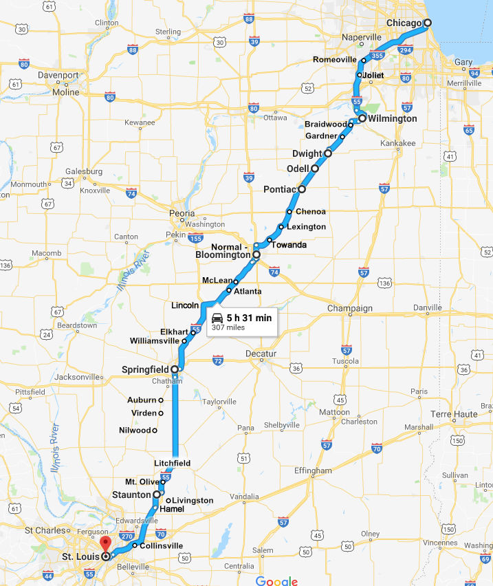
IllinoisMap showing the approximate route of U.S. Highway 66 across Illinois from Chicago to St. Louis, Missouri
|
|
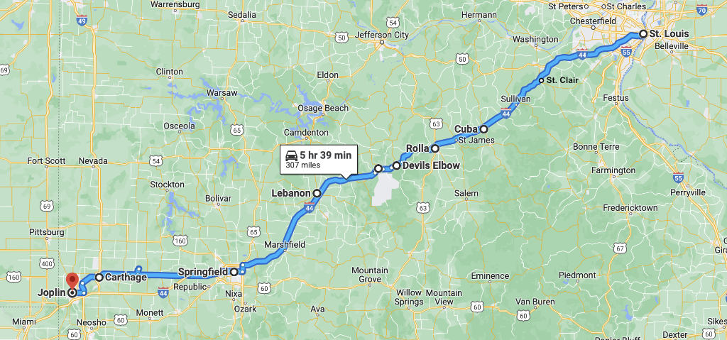
MissouriMap showing the approximate route of U.S. Highway 66 across Missouri from St. Louis to Joplin
|
|
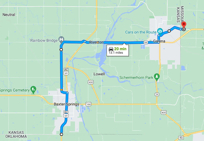
KansasMap of Historic Route 66 through Galena, Riverton and Baxter Springs in Kansas
|
|
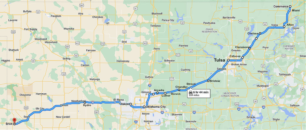
OklahomaMap showing the approximate route of U.S. Highway 66 across Oklahoma
|
|
TexasMap of the approximate route of U.S. Highway 66 across Texas from Shamrock to Glenrio
|
|
New MexicoMap showing cities and towns along an early alignment of U.S. Route 66 across New Mexico, from Glenrio to Gallupclick for interactive New Mexico Route 66 map 
|
|
ArizonaMap showing the approximate route of U.S. Highway 66 across Arizona from Lupton to Topockclick for interactive Arizona Route 66 map 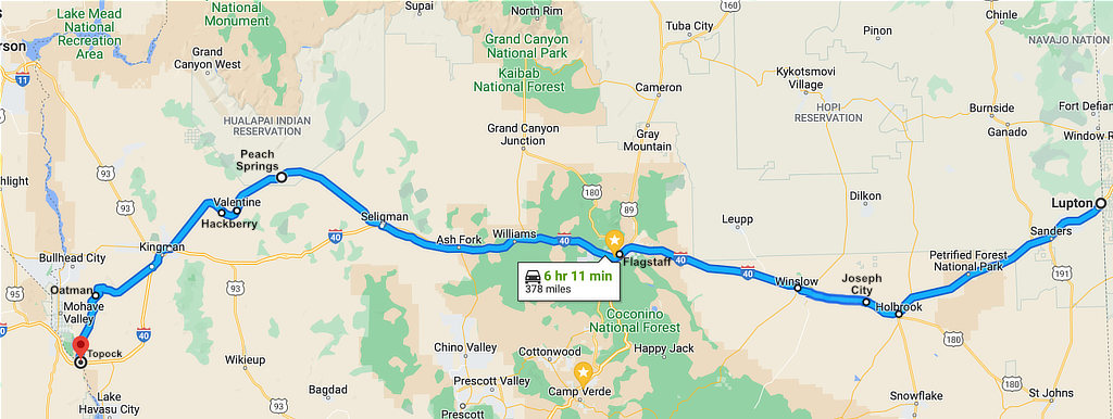
|
|
CaliforniaMap showing the approximate route of an early alignment of U.S. Highway 66 from Needles to Santa Monica, Californiaclick for interactive California Route 66 map 
|
