Route 66 2026 Travel Guide for Santa Monica California
 |
Route 66, the Mother Road, ran southwest in Arizona from Kingman through Cool Springs to Oatman, and onward to Golden Shores and Topock where it turned west to Needles, California.
From the Arizona state line to San Bernardino U.S. Highway 66 followed the old National Old Trails Highway.
Leaving Needles, the road ventured a bit north, through Goffs. This railroad town remained a stop on Route 66 until 1931, when a more direct alignment between Needles and Essex was opened.
The road then headed south, through Chambless and Amboy, and then west to Ludlow, Newberry Springs and on to Barstow. There it turned south and traveled through Helendale, Victorville, through the Cajon Pass, and on to San Bernardino.
A final westward track through Pasadena took the Mother Road to its final end, near Santa Monica.
In 1936 U.S. 66 was extended from downtown Los Angeles to U.S. 101, at Santa Monica.
Map showing the location of Santa Monica on Historic Route 66 |
Lodging, Dining and Attractions in Santa Monica ... from TripAdvisor
|
Santa Monica Hotel Directory, Traveler Reviews and Reservations Santa Monica Travel Guide |
About Santa Monica
The City of Santa Monica is bordered on five sides by different neighborhoods of the city of Los Angeles: Pacific Palisades to the north, Brentwood on the northeast, West Los Angeles on the east, Mar Vista on the southeast, and Venice on the south.
With nearly four miles of beaches and a vibrant urban scene, Santa Monica blends the sophistication of an international coastal city with the laid-back vibe of a California beach town. Even though it’s only 15 miles west of downtown Los Angeles, it feels like a weekend getaway spot.
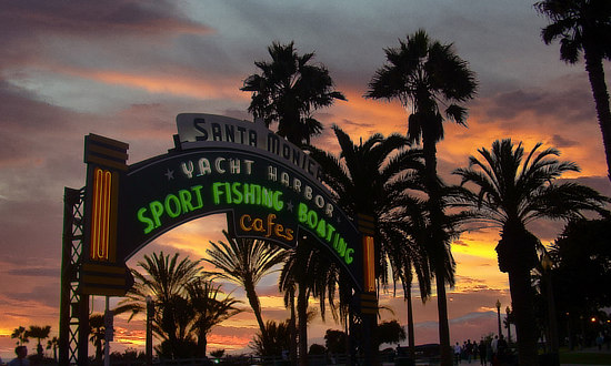
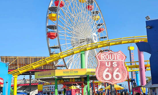
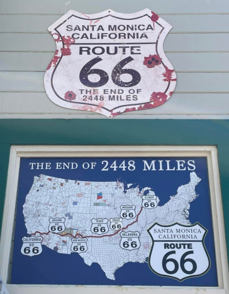
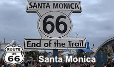
Fabled Route 66 once traveled along a stretch of Santa Monica Boulevard and reached the terminus of its 2,448-mile run from Chicago near the beach in Santa Monica. A sign commemorates the Eend of the Trail” on Santa Monica Pier, where travelers can marvel at amazing coastal views from atop the world’s only solar-powered Ferris wheel at Pacific Park amusement park.
 |
Santa Monica: End-Point of Route 66
The original terminus of U.S. Route 66 was at 7th and Broadway in downtown Los Angeles. However, over the years, and decades, Route 66 has had several “official” and “unofficial" ending points. Federal Highway rules stated one highway must feed into another to not "dead-end" a traveler, so Route 66's new ending was re-routed to connect with "Alt 101," today's California Pacific Coast Highway.
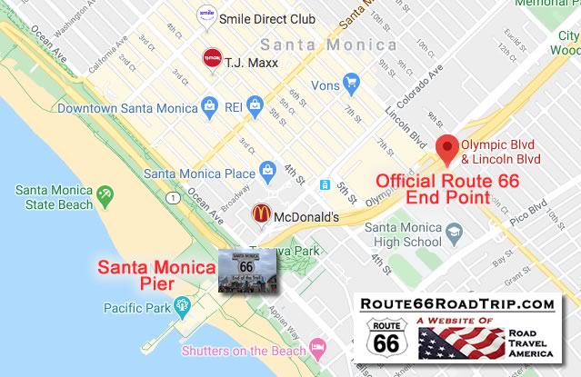
The extended route was at the intersection of Lincoln and Olympic boulevards in Santa Monica, about one mile from the Pacific Ocean. This is often referred to as the official ending point of Route 66.
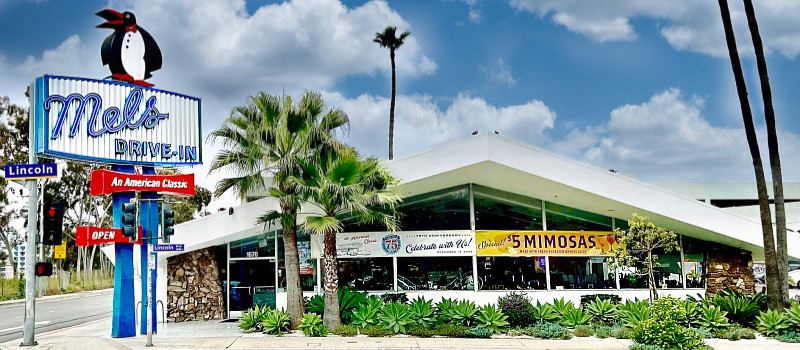
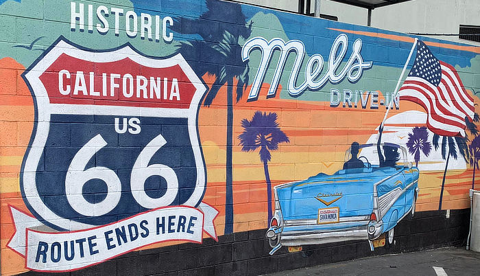
Mels Drive-InSeveral Mels restaurants are located in the Los Angeles area, including this one at 1670 Lincoln Boulevard, near the official ending point of Route 66.
This mural is located at the Mels on Lincoln Boulevard. Mels Drive-In website |
 |
Map showing the "official" and "unofficial" ending points of Route 66 in Santa Monica, California |
Best-Selling Route 66 Books and Maps at our Amazon Store |
|
| Route 66 Travel Guide - 202 Amazing Places by Mark Watson  |
Route 66 Full-throttle Adventure Handbook, by Drew Knowles  |
| EZ66 Guide for Travelers (5th Edition) by Jerry McClanahan  |
Rand McNally 2026 Road Atlas Large Scale Spiral Bound  |
California Road & Recreation Atlas |
Rand McNally: the Official Route 66 Centennial Map |
About These ProductsThe Route 66 Road Trip website is a participant in the Amazon Services LLC Associates Program, an affiliate advertising program designed to provide a means for sites to earn fees by advertising and linking to Amazon.com and affiliated sites. Amazon offers a commission on products sold through their affiliate links. There is no additional cost to you. |
|
 |
 |
 |
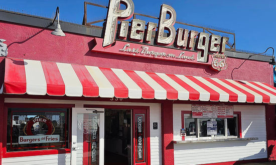 |
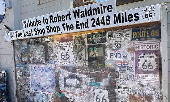
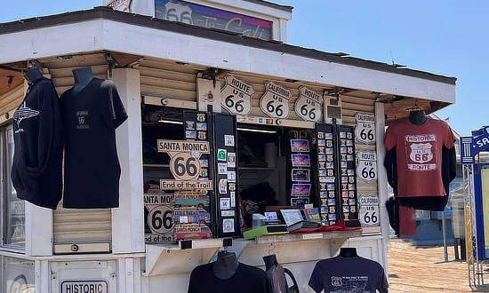
Tribute to Robert Waldmire at the Last Stop Shop ... in Santa Monica, the end ... 2,448 Miles
|
 |
Interactive Map of Santa Monica, California
More Information About Santa Monica |
|
Earlier Times: Vintage Views of Santa Monica
We have included below a sampling of our collection of vintage travel postcards dealing with Santa Monica and Route 66. What was Route 66 like in its earlier years, as visitors drove around and through Santa Monica? What did all the service stations, motels and public buildings look like when they were new? What did the traveling public experience on the Mother Road? We wonder such things when we travel Route 66 today. Those earlier times in the 1930s, 40s and 50s were not always captured on film. But the use of colorful postcards was common in those decades. These portray the historic road in its prime and help us to visualize, and appreciate, "earlier times" as we drive Route 66 today around Santa Monica. |
Greetings from Santa Monica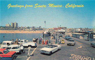 |
Santa Monica Auto Camp |
William Tell Motel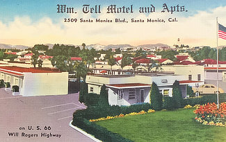 |
Bel Monica Motel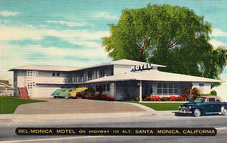 |
Kensington Apartments |
Resthaven Motel |
Kensington Auto Motel |
Surf Auto Hotel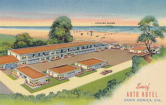 |
Red Apple Motel |
Tower Motel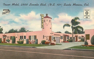 |
Santa Monica Travl-O-Tel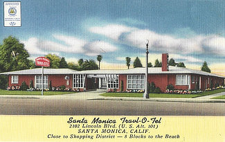 |
Tour-Inn Motel |
MORE CALIFORNIA ROUTE 66 |
||
 |
 |
 |
 |
 |
 |
 |
 |
|
