Route 66 Travel Guide for Pasadena California
 |
Route 66, the Mother Road, ran southwest in Arizona from Kingman through Cool Springs to Oatman, and onward to Golden Shores and Topock where it turned west to Needles, California.
From the Arizona state line to San Bernardino U.S. Highway 66 followed the old National Old Trails Highway.
Leaving Needles, the road ventured a bit north, through Goffs. This railroad town remained a stop on Route 66 until 1931, when a more direct alignment between Needles and Essex was opened.
The road then headed south, through Chambless and Amboy, and then west to Ludlow, Newberry Springs and on to Barstow. There it turned south and traveled through Helendale, Victorville, through the Cajon Pass, and on to San Bernardino.
A final westward track carrried the route through Rancho Cucamonga and Arcadia into Pasadena. The city is 11 miles from Los Angeles, 15 miles from Hollywood, and 27 miles from Santa Monica.
As Route 66 left Pasadena’s Colorado Boulevard, it connected to a number of existing roadways. Route 66 made its way to downtown Los Angeles, followed Sunset Boulevard, connected with North Santa Monica Boulevard and headed through Beverly Hills, as it continued west to Santa Monica.
Map showing the location of Pasadena on Historic Route 66 |
Lodging, Dining and Attractions in Pasadena ... from TripAdvisor
|
Pasadena Hotel Directory, Traveler Reviews and Reservations Pasadena Travel Guide |
Popular Attractions in Pasadena
- Norton Simon Museum
- Old Pasadena
- Colorado Boulevard
- Pasadena City Hall
- The Gamble House
- Tournament of Roses and the Rose Parade
- Kidspace Children's Museum
- Eaton Canyon Natural Area
- Arlington Garden
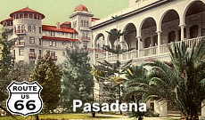
- Castle Green - A Nationally Registered Historic Monument and Pasadena Treasure, over 100 years old. Built during the Victorian era, and now faithfully restored in every detail.
California Street BridgeWith its majestic arches rising 150 feet above the deeply cut Arroyo Seco, the Colorado Street Bridge was proclaimed the highest concrete bridge in the world upon completion in 1913. The bridge connected Pasadena to Los Angeles, and traffic on the new bridge was heavy. Only two lanes wide, the bridge was considered inadequate as early as the 1930s. The bridge remained part of Route 66 until the 1940 completion of the Arroyo Seco Parkway. It was listed in the National Register of Historic Places in 1981. |
|
Arroyo-Seco Bridge: Vintage View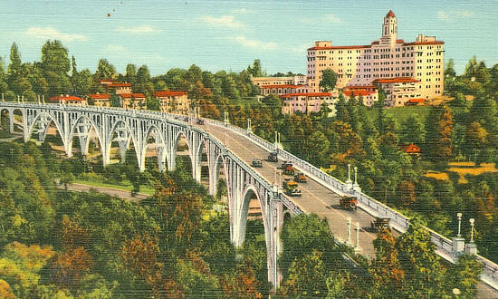 |
Arroyo-Seco Bridge: Recent View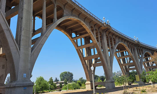 |
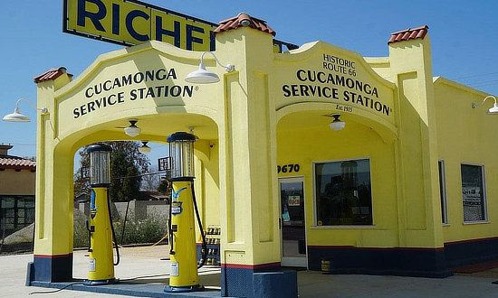
East of Pasadena: Rancho CucamongaThe Cucamonga Service Station is a historic gas and automobile service station located in Rancho Cucamonga, California. Located on Historic Route 66, it was built in 1915 and today serves as a museum. The official address is 9670 Foothill Blvd, Rancho Cucamonga, CA 91730. Read more at the Cucamonga Service Station website
|
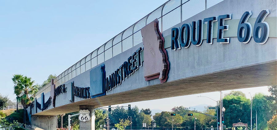
Route 66 overpass in Rancho Cucamonga
|
Best-Selling Route 66 Books and Maps at our Amazon Store |
|
| Route 66 Travel Guide - 202 Amazing Places by Mark Watson 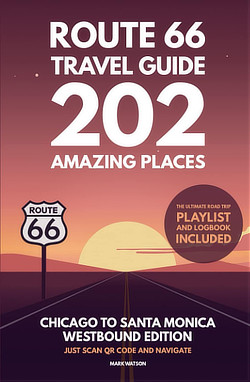 |
Route 66 Full-throttle Adventure Handbook, by Drew Knowles 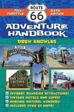 |
| EZ66 Guide for Travelers (5th Edition) by Jerry McClanahan 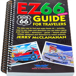 |
Rand McNally 2026 Road Atlas Large Scale Spiral Bound 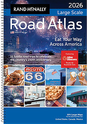 |
About These ProductsThe Route 66 Road Trip website is a participant in the Amazon Services LLC Associates Program, an affiliate advertising program designed to provide a means for sites to earn fees by advertising and linking to Amazon.com and affiliated sites. Amazon offers a commission on products sold through their affiliate links. There is no additional cost to you. |
|
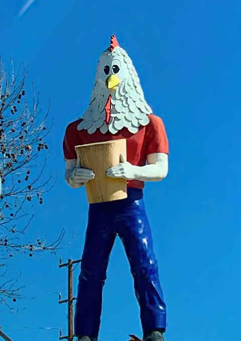
Just west of Pasadena: Chicken Boy in Los Angeles The 22-foot high, fiberglass Chicken Boy, is part man and part chicken, and holds a yellow bucket of chicken. Chicken Boy was originally located on the roof of the Chicken Boy restaurant on Broadway in Los Angeles. It was later put in storage, and then relocated to its current site atop the Future Studio Gallery, on 5558 North Figueroa Avenue, part of Historic Route 66, in the Highland Park area. It is commonly called the "Statue of Liberty of Los Angeles". |
Interactive Map of Pasadena, California
The Weather in Pasadena
Pasadena has a Mediterranean climate, with typically hotter summers and slightly cooler winters than nearby coastal areas. Its location relative to the San Gabriel mountains allows the orographic lift to tac on several more inches of rainfall per year than nearby areas.
The average temperature for the year in Pasadena is 63.9°F. The warmest month, on average, is August with an average temperature of 74.7°F. The coolest month on average is January, with an average temperature of 54.4°F.
More Information About Pasadena and Route 66 |
|
Earlier Times: Vintage Views of Pasadena
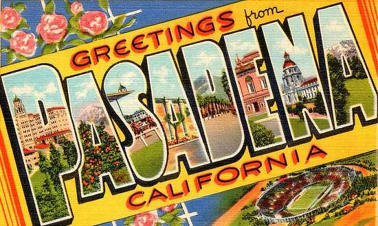
We have included below a sampling of our collection of vintage travel postcards dealing with Pasadena and Route 66. What was Route 66 like in its earlier years, as visitors drove around and through Pasadena, and attended games at the Rose Bowl? What did all the service stations, motels and public buildings look like when they were new? What did the traveling public experience on the Mother Road? We wonder such things when we travel Route 66 today. Those earlier times in the 1930s, 40s and 50s were not always captured on film. But the use of colorful postcards was common in those decades. These portray the historic road in its prime and help us to visualize, and appreciate, "earlier times" as we drive Route 66 today around Pasadena. |
Clark Motel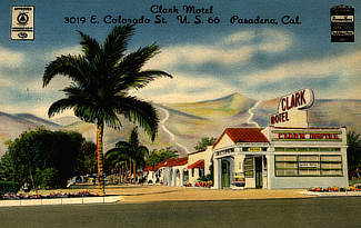 |
Arroyo-Seco Parkway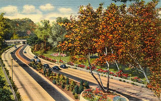 |
Downtown Pasadena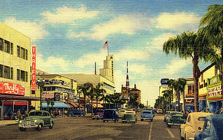 |
Gwinn's Restaurant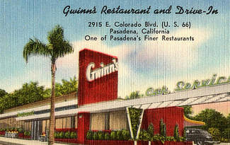 |
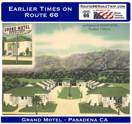
Grand Motel |
Bella Vista Motor Court |
Pasadia Motel |
Dino's in Pasadena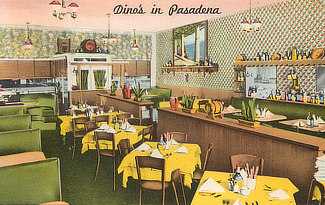 |
Hotel Green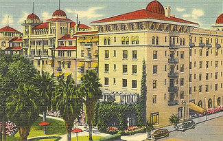 |
MORE CALIFORNIA ROUTE 66 |
||
 |
 |
 |
 |
 |
 |
 |
 |
|
