Route 66 Travel Guide for Victorville California
 |
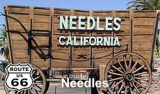
Route 66, the Mother Road, ran southwest in Arizona from Kingman through Cool Springs to Oatman, and onward to Golden Shores and Topock where it turned west to Needles, California.
From the Arizona state line to San Bernardino U.S. Highway 66 followed the old National Old Trails Highway.
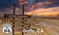
Leaving Needles, the road ventured a bit north, through Goffs. This railroad town remained a stop on Route 66 until 1931, when a more direct alignment between Needles and Essex was opened.
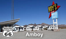
The road then headed south, through Chambless and Amboy, and then west to Ludlow, Newberry Springs and on to Barstow. There it turned south and traveled through Helendale and Oro Grande to Victorville.
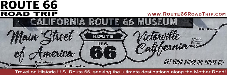
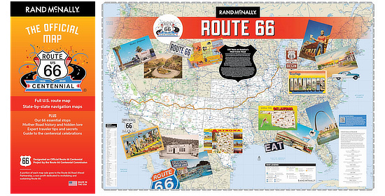
Map showing the location of Victorville on Historic Route 66 in California |
Victorville Location
Located in Southern California at the high-point between Los Angeles and Las Vegas, Victorville is the leading city for both industry and retail in the High Desert region. Victorville is a growing, vibrant community that is home to approximately 135,000 residents and some of the area's largest employers.
It is served by Interstate Highway I-15, U.S. Highway 395, and California Highway 18. To the north are the communities of Oro Grande and Helendale, and Cajun Pass lies to the south.
The Climate in Victorville
At 2,875 feet above sea level, Victorville's dry, high-desert climate offers a taste of all seasons. The city enjoys cool springs and falls, hot and sunny summers and generally milder winters that can sometimes bring light snow. The average rainfall is approximately 3.9 inches per year, which means low humidity throughout the year. Temperatures can range from below freezing in winter to 110 in the summer.
Some Past History in Victorville
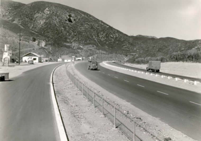
In 1926, U.S. Route 66 was established, which was one of the main arteries of the National Highway System linking Chicago, Illinois, with California. A portion of this famous highway provided a transportation corridor through Victorville, which was unsurpassed until Interstate 15 was constructed. Seventh Street and "D" Street were a part of this national highway.
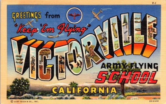 |
During World War II, initial construction of the Victorville Army Airfield began, situated northwest of downtown Victorville. It was opened by the U.S. Army Air Corps as an Advanced Flying School in June 1941, and closed at the end of World War II.
The base was again activated by the U.S. Air Force at the beginning of the Korean War in November 1950. It remained a base throughout the Cold War, primarily for training Tactical Air Command pilots. It was later renamed George Air Force Base, and closed in 1992; the base has been successfully repurposed as the Southern California Logistics Airport (SCLA).
Just north of Victorville near Route 66 was the ranch owned and operated by famous cowboy, singer, and movie star Roy Rogers and his wife Dale Evans. The Roy Rogers Double R Bar Ranch, built in 1920, was located along the banks of the Mojave River in the small Route 66 community of Oro Grande, just outside of Victorville, and a few miles from their home in Apple Valley. Roy owned the ranch until the day he died in 1998; Dale followed him a few years later. Today, the ranch continues ... read more at the website of the Double R Ranch Happy trails to you, until we meet again!
Old Town Route 66 in Victorville, California

Lodging, Dining and Attractions in Victorville ... from TripAdvisor
|
Victorville Hotel Directory, Traveler Reviews and Reservations Victorville Travel Guide |
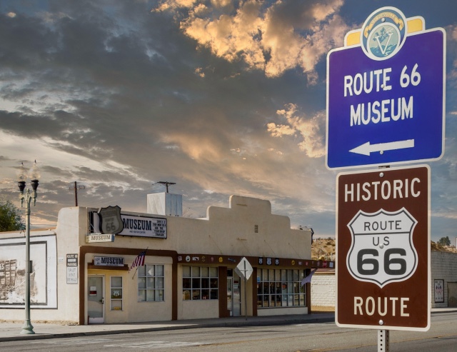
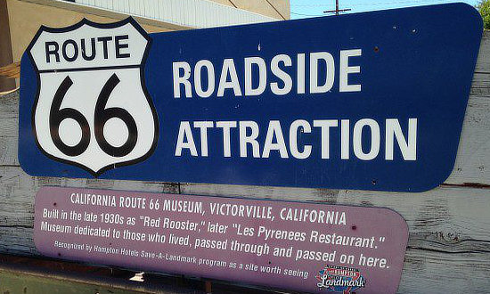
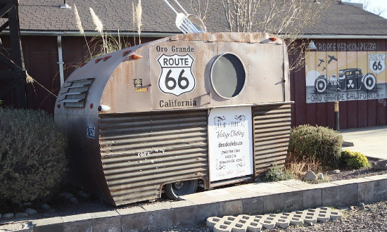
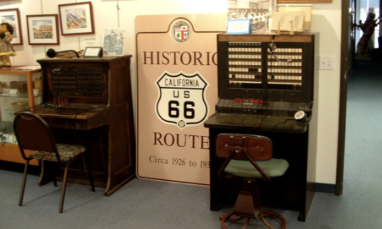
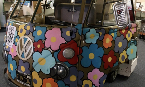
California Route 66 MuseumThe California Route 66 Museum is devoted to the representation of U.S. Highway 66 in both historic and contemporary exhibitions. It is an interactive museum with over 4500 Sq. Ft. of floor space. The museum offers many photo opportunities for visitors to share memories in such settings as a 1950s diner and the VW Love Bus complete with hippie wigs and sunglasses for that perfect photo op. The building was built in 1930 as the "Red Rooster" and later served as the "Les Pyrenees Restaurant". The museum is dedicated to "those who lived, passed through, or passed on here". Located at 16825 South D Street in Victorville, California - Phone 760.951.0436 Website of the California Route 66 Museum
|
||||
 |
 |
|||
 |
 |
|||
|
||||
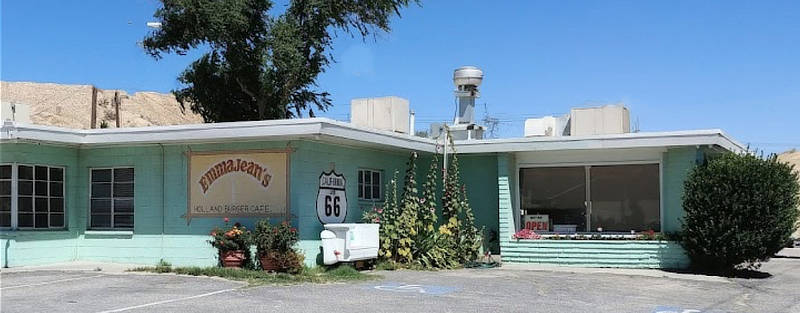
Emma Jean's Holland Burger CafeEmma Jean's Holland Burger Cafe is a Route 66 icon that has been serving up meals to locals and hungry travelers on the Mother Road in Victorville since 1947. The building was built by Bob and Kate Holland from cinder blocks manufactured at the old Fiber Tile Plant. Emma Jean worked at the cafe as a waitress, and her husband bought the cafe and named it after her. The cafe remains a family-owned institution, and because of its nostalgic Mid-Century ambiance, it has been featured in a number of movies and TV shows. Emma Jean's is located at 17143 N D Street, Victorville, CA 92394 - Phone 760.243.9938 |
||||
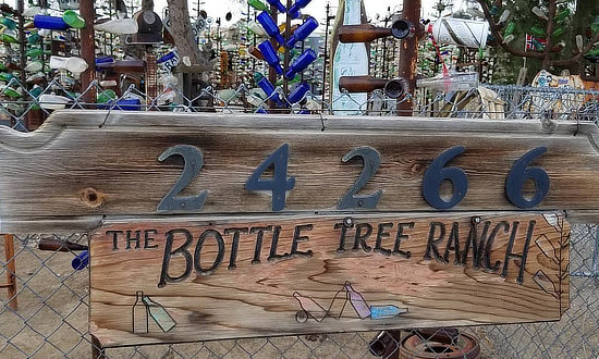
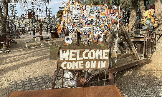
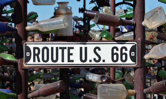
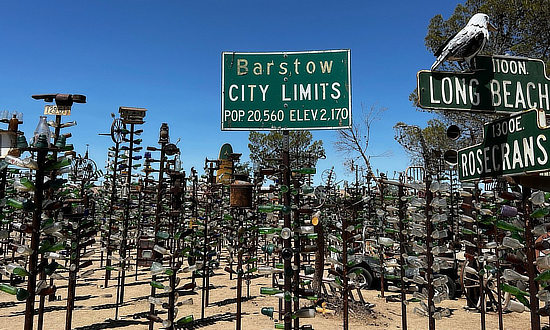
Elmer Long's Bottle Tree RanchNorth of Victorville is the Bottle Tree Ranch created by Elmer Long. It is a forest of colorful bottle trees hanging from large metal vertical pipes. It also features a variety of random collectibles such as windmills made of bicycle wheels, old signs, jeeps, typewriters, bed springs, car parts, and other assorted items. Many of the bottles were originally collected by Elmer's father. As time progressed, Elmer himself started collecting bottles and other old relics he found in the neighboring California deserts. The "Ranch" is located between Helendale and Victorville (actually closer to Helendale) ... the official address is 24266 National Trails Hwy, Oro Grande, CA 92368 Read more at the Bottle Tree Ranch website |
|
 |
 |
 |
 |
Cajon Pass: South of VictorvilleEarlier days of Route 66 through Cajon Pass ... the highest point on California Route 66 Cajon Pass, south of Victorville, is located between the San Bernardino Mountains and the San Gabriel Mountains. Rising to 3,777 feet, it is known for high wind, turbulence and fog. Today, Interstate I-15 parallels parts of the original Route 66. Read about the famous rest stop on the National Old Trails Road ... Camp Cajon on Facebook
|
Interactive Map of Victorville, California
Best-Selling Route 66 Books and Maps at our Amazon Store |
||
| Route 66 Travel Guide - 202 Amazing Places by Mark Watson  |
Route 66 Full-throttle Adventure Handbook, by Drew Knowles  |
|
| EZ66 Guide for Travelers (5th Edition) by Jerry McClanahan  |
Rand McNally 2026 Road Atlas Large Scale Spiral Bound 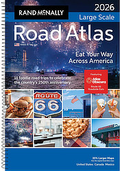 |
|
|
||
About These ProductsThe Route 66 Road Trip website is a participant in the Amazon Services LLC Associates Program, an affiliate advertising program designed to provide a means for sites to earn fees by advertising and linking to Amazon.com and affiliated sites. Amazon offers a commission on products sold through their affiliate links. There is no additional cost to you. |
||
More Information About Victorville |
|
MORE CALIFORNIA ROUTE 66 |
||
 |
 |
 |
 |
 |
 |
 |
 |
|
