Route 66 Side Trip to Las Vegas, Nevada
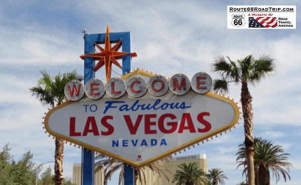 Welcome to Fabulous Las Vegas, Nevada Welcome to Fabulous Las Vegas, Nevada |
Many travelers want to know ... does Route 66 go through Las Vegas, Nevada?
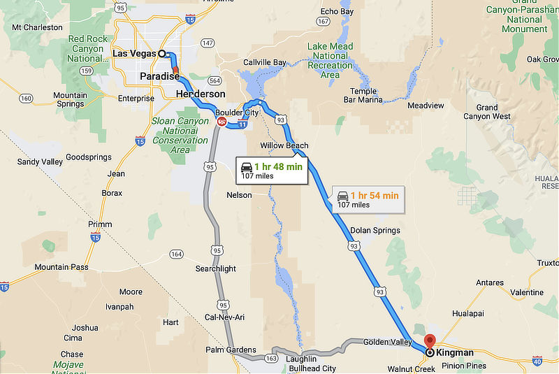
The answer is "No", but it passes through Kingman, Arizona, only about 100 miles to the southeast.
While some Route 66 travelers enjoy the experience of staying only on the Mother Road itself, others take the opportunity to make a fun side trip to visit Las Vegas, less than a two hour drive north, via U.S. Highway 93.
Others may have an interest in only Hoover Dam, and not Las Vegas ... the dam is only 75 miles from Kingman. Tours of the dam are available.
After visiting Las Vegas, travelers can return to Kingman to resume their Route 66 trip, or as an alternative take U.S. Highway 95 south to rejoin the Mother Road near Needles and Goffs, California.
About Las Vegas
Las Vegas, often referred to simply as "Vegas", is the largest city in the state of Nevada, and the county seat of Clark County. It was settled in 1905 and officially incorporated in 1911.
It is known around the world as a major resort city, primarily for its gambling, shopping, fine dining, entertainment, and nightlife. The city call itself "The Entertainment Capital of the World", and is famous for its luxurious and bigger than life casino-hotels. 39 million people visit Las Vegas annually.
The city is home to Nellis Air Force Base and the University of Nevada at Las Vegas (UNLV).
The summer months of June through September are extremely hot, but with low humidity. Las Vegas winters are short and generally very mild, with chilly (but rarely cold) daytime temperatures. Sunshine is abundant year-round.
Spend a day, or more, and enjoy the excitement of the city before returning to Route 66!
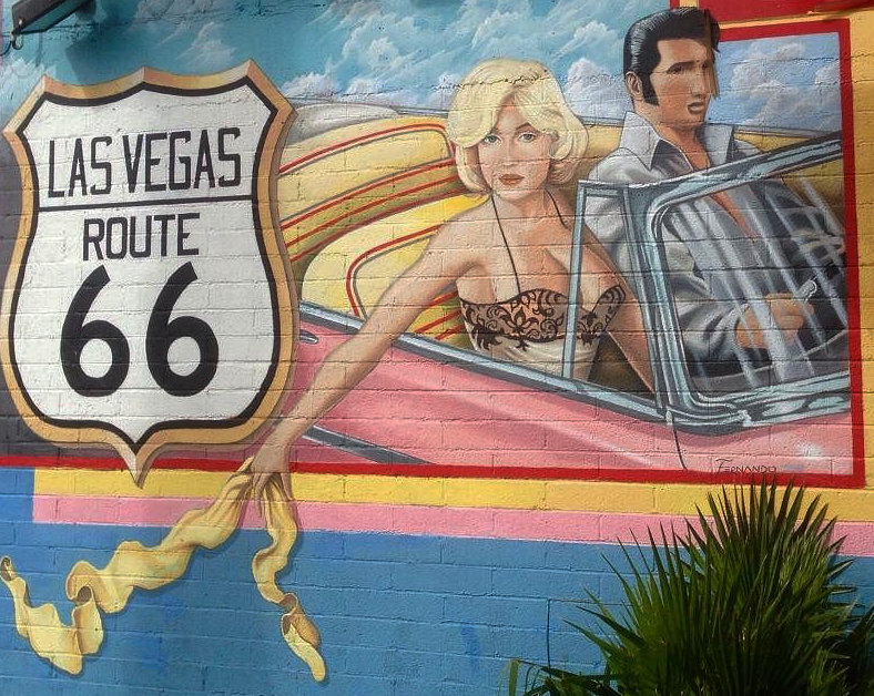
| Despite what this fun mural depicts, Historic Route 66 did NOT pass through Las Vegas! Mural by artist Fernando Reyes, at Lost Vegas Antiques, 625 S. Las Vegas Blvd. |
 |
| Map showing the directions from Historic Route 66 in Kingman to Las Vegas |
 |
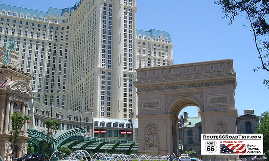
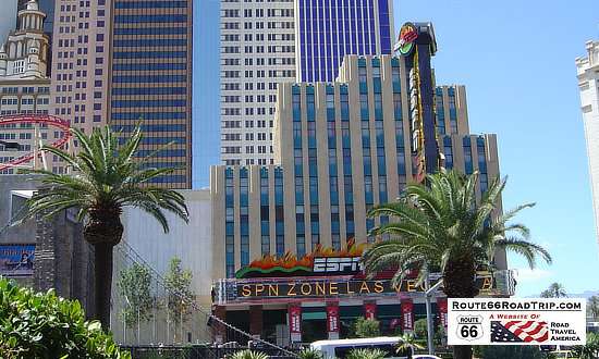
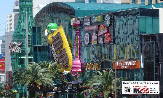
Scenes Along the Las Vegas Strip
 |
 |
 |
 |
 |
 |
Downtown and the Fremont Street Experience
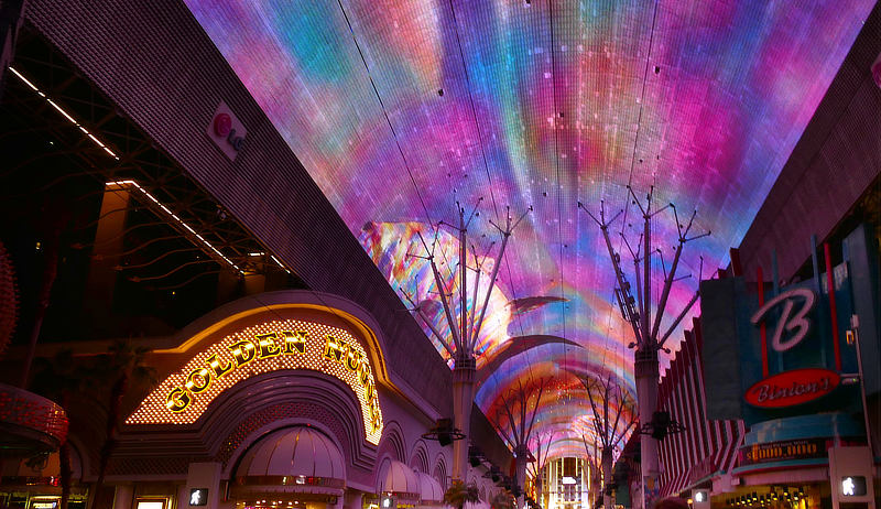
The Fremont Street Experience is a pedestrian mall and attraction in Downtown Las Vegas. It occupies the westernmost five blocks of Fremont Street, including the area also known as "Glitter Gulch." The central attraction is a barrel vault canopy, 90 feet high at the peak and four blocks or approximately 1,500 feet in length.
| The Fremont Street Experience in downtown Las Vegas |
 |
Lodging Options in Las Vegas
As one of the most popular destinations in the Western United States, Las Vegas has developed an expansive infrastructure of lodging options, from upscale resorts to casino hotels to B&Bs.
Las Vegas has hundreds of hotels, resorts, motels, timeshares, private residences, and bed-and-breakfasts.
Hotels and lodging in Las Vegas ... TripAdvisor reviews, photos, reservations |
Hoover Dam
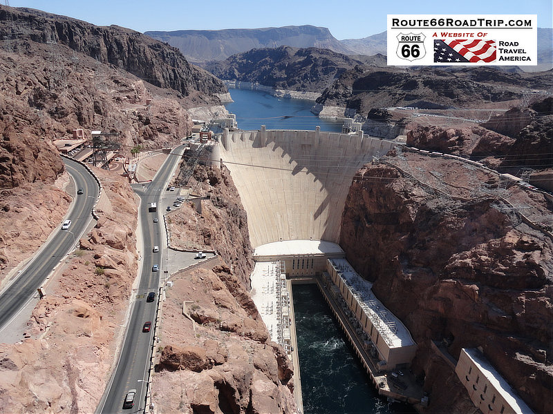
Hoover Dam impounds Lake Mead, the largest reservoir in the United States by volume when full. The dam is located about 30 miles southeast of Las Vegas, near Boulder City, a municipality originally constructed for workers on the construction project. The dam's generators provide power for public and private utilities in Nevada, Arizona, and California. Completed in 1936, Hoover Dam is a major tourist attraction, welcoming over 7 million tourists a year. A variety of tours are available.
Read more at the Bureau of Reclamtion website about Hoover Dam
| Hoover Dam near Las Vegas, with Lake Mead in the distance |
 |
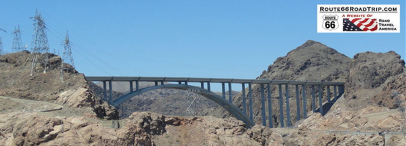
| View of the Mike O'Callaghan–Pat Tillman Memorial Bridge over the Colorado River, just south of the Hoover Dam |
 |
Other Popular Attractions Around the Area
Lake Mead is a reservoir formed by Hoover Dam on the Colorado River in the states of Nevada and Arizona, 24 miles east of Las Vegas. It provides water to the states of Arizona, California, and Nevada as well as parts of Mexico. The lake is 112 miles long, and has a maximum depth of 532 feet, making it the largest reservoir in the U.S. in terms of water capacity.
Red Rock Canyon National Conservation Area is located about 20 miles west of Las Vegas. It features a one-way 13-mile scenic drive, hiking and trails, plants and wildlife, geology, camping, cultural resources and much more. The Red Rock Visitor Center offers information and interpretation about recreational opportunities. The facility also features indoor and outdoor exhibits and a book/gift store.
Read more at the website of Red Rock Canyon
Marina on Lake Mead near Las Vegas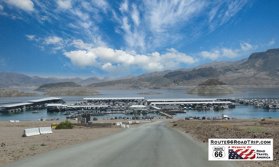 |
Scene at Red Rock Canyon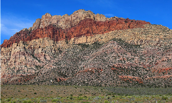 |
Nearby Death Valley National Park
Death Valley is the largest U.S. National Park outside Alaska, spanning 3.4 million acres. The park includes low valley floors crusted with barren salt flats, rugged mountains rising as much as 11,000 feet, deep and winding canyons, rolling sand dunes, and spring-fed oases. New visitors to the park always ask these questions ...
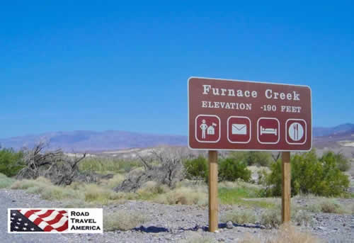 Furnace Creek in Death Valley |
The park is located in California, about 140 miles northwest of Las Vegas, Nevada, and 280 miles northeast of Los Angeles, California. Death Valley is about 140 miles long, from the head of Last Chance Canyon in the north to where the Amargosa River makes its big bend near Saratoga Springs in the south.
Badwater Basin, at 282 feet below sea level, is not only the lowest place in the park, it's the lowest in North America. It is located 18 miles south of the Furnace Creek Visitor Center on the Badwater Road (CA 178).
Death Valley is the hottest and driest place in North America because of its lack of surface water and its low relief. On the afternoon of July 10, 1913, the United States Weather Bureau recorded a high temperature of 134F at Greenland Ranch (now Furnace Creek) in Death Valley. This temperature stands as the highest ambient air temperature ever recorded at the surface of the Earth.
There are two major valleys in the park, Death Valley and Panamint Valley. The park is transected from east to west by California Highway 190.
On the east in Nevada, Highway 95 parallels the park from north to south with connecting highways at Scotty's Junction (State Route 267), Beatty (State Route 374), and Lathrop Wells (State Route 373).
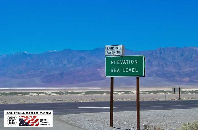
For more information, visit Death Valley National Park at the RoadTravelAmerica website or phone the park at 760.786.3200| Elevation Sea Level, in Death Valley National Park near Las Vegas |
 |
Map of Las Vegas, Nevada
More Information and Resources about Las Vegas |
