Route 66 Road Trip Planning Guide for Holbrook Arizona
The drive westbound from Gallup to Lupton, on the Arizona border, is only 24 miles on today's I-40. Continuing west, the old road passes through the Painted Desert and the Petrified Forest, and then into Holbrook.
Greetings from Holbrook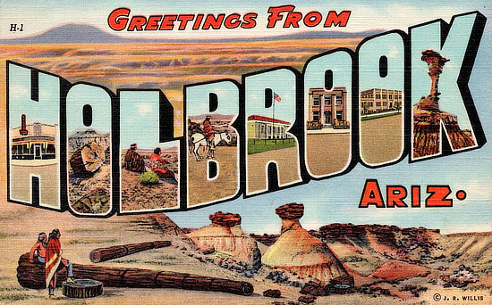 |
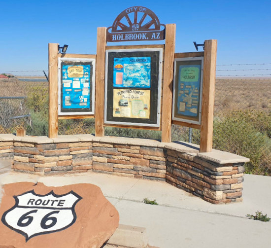 |
Map showing the location of Holbrook on U.S. Route 66 in Arizona  |
|
Holbrook is a city steeped in Native American culture, Hispanic roots and pioneers from all walks of life.
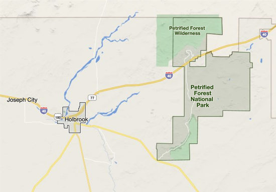
The city, located in Navajo County, has a population of about 5,000 residents. Nearby are the beautiful Painted Desert and Petrified National Park, about 18 miles to the east.
For those with an interest in geology, Jim Gray's Petrified Wood Company is a fun stop. The Navajo County Historical Museum is well worth a visit as well. And don't miss the dinosaurs at the Rainbow Rock Shop, and the teepees at the Wigwam Motel !
Winslow lies 34 miles to the west, and Flagstaff is 93 miles west.
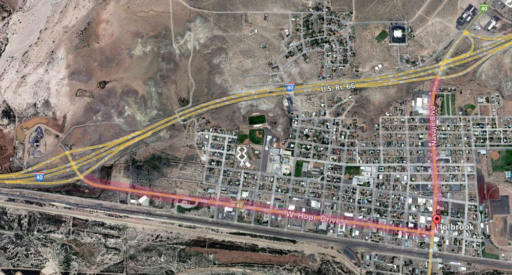
Early Route 66 Alignment in HolbrookHolbrook began as a town of railroaders and cattlemen, outlaws and rugged lawmen. The National Old Trails Road reached Holbrook in 1913, and Route 66 was aligned through town in 1926. The alignment through Holbrook was on West Hopi Drive until Gillespie Park, where it made a right-angle turn and headed north on Navajo Boulevard (see map below). |
|
Gillespie Park ... at the corner of Hopi Drive and Navajo Boulevard in Holbrook 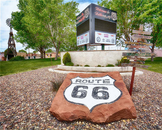 |
Lodging Options in Holbrook
Hotels in Holbrook, Arizona with traveler reviews and photos Holbrook Travel Guide |
The Route66RoadTrip website has no connection with any of the hotels and motels listed ... they are provided as a starting point in your research and selection on where to stay on Route 66 on your next road trip.
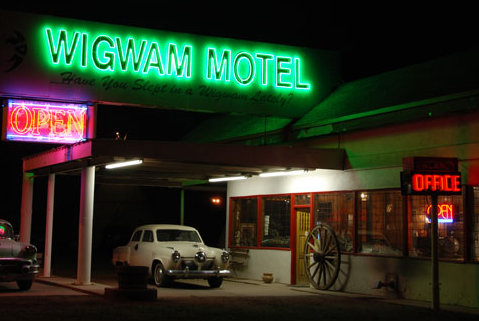
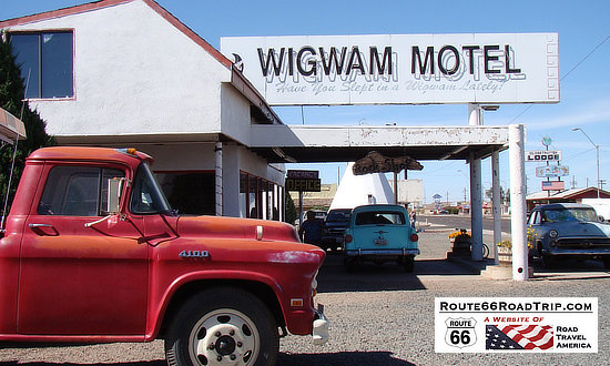
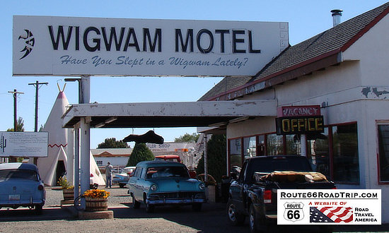
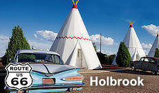
Wigwam Village No. 6Located at 811 West Hopi Drive in Holbrook is one of the three remaining Wigwam Villages. The other two are located in San Bernardino, California (No. 7) , and Cave City, Kentucky (No. 2). A total of seven Wigwam Villages were constructed between 1936 and the 1950s.
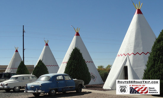
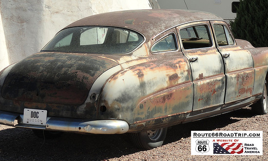
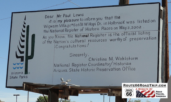
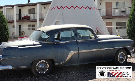
While passing through Cave City, Kentucky in 1938, Chester E. Lewis was impressed by the distinctive design of the original Wigwam Village constructed in 1937 by architect Frank Redford. Mr. Lewis purchased copies of the plans and the right to use the Wigwam Village name. Finished in 1950, Mr. Lewis’ village was the sixth village built, thus its designation as Wigwam Village No. 6. Fifteen concrete and steel freestanding teepees are arranged in a semi-circle around the main office. The motel office and its surrounding small buildings were the quarters of the owners. Each teepee is 21 feet wide at the base and 28 feet high, and are painted white with a red zigzag above the doorway. In front of the main office were gas pumps that are no longer in place. While there were a total of 15 units, Mr. Lewis felt that the number "13" was superstitious, so there is no teepee #13, and the last unit is numbered 16. Mr. Lewis successfully operated the motel until Interstate 40 bypassed downtown Holbrook in the late 1970s. He sold the business, and it remained open, but only to sell gas. Two years after Mr. Lewis’ death, his wife and grown children re-purchased the property and reopened the motel in 1988. They removed the gas pumps and converted part of the main office into a museum, which is open to the public. The museum holds Mr. Lewis’ own collection of Indian artifacts, Civil War memorabilia, Route 66 collectibles, and a petrified wood collection. Wigwam Village Motel #6 was listed in the National Register of Historic Places in 2002. Today, each teepee (or rather tipi) has a private bathroom with toilet and shower, a television, air conditioner and original hand-made hickory furniture. Vintage automobiles are permanently parked throughout the property, including a Studebaker that belonged to Mr. Lewis. It continues to be operated by the Lewis family. In the Pixar-Disney film "Cars", the Cozy Cone Motel was inspired by the unique Wigwam Motels found along Route, including this one in Holbrook, Arizona, and another in San Bernardino, California.
|
||||||
Vintage view of the Wigwam Village No. 6, 800 W. Hopi Drive, on U.S. 66, Holbrook, Arizona ... Phone 310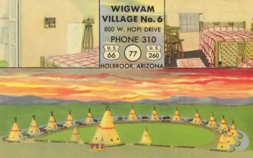 |
||||||
Present day views of the Wigwam Motel in Holbrook, Arizona
|
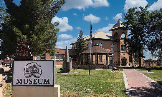
Navajo County Historical Society & Navajo County MuseumThe Navajo County Historical Society maintains a diversified collection in the Historic Courthouse, at 100 E. Arizona Street and Navajo Boulevard in Holbrook. The Society maintains an Arizona Historical Society accredited museum and archives. The society serves as the caretaker of objects, photographs and documents from the public. More than 70 exhibit areas can be viewed in the historic courthouse and annex wing for no admission fee. For more information, visit the website of the |
 |
Best-Selling Route 66 Books and Maps at our Amazon Store |
|
| Route 66 Travel Guide - 202 Amazing Places by Mark Watson  |
Route 66 Full-throttle Adventure Handbook, by Drew Knowles  |
| EZ66 Guide for Travelers (5th Edition) by Jerry McClanahan 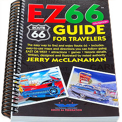 |
Rand McNally 2026 Road Atlas Large Scale Spiral Bound  |
About These ProductsThe Route 66 Road Trip website is a participant in the Amazon Services LLC Associates Program, an affiliate advertising program designed to provide a means for sites to earn fees by advertising and linking to Amazon.com and affiliated sites. Amazon offers a commission on products sold through their affiliate links. There is no additional cost to you. |
|
More scenes around the Holbrook area
Rainbow Rock Shop, 101 Navajo Blvd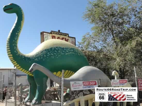 |
Jim Gray's Petrified Wood Company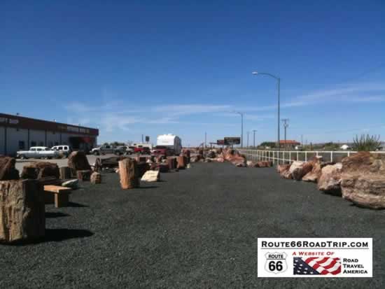 |
Crystal Forest Campground 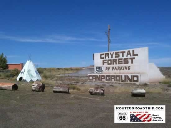 |
Dinosaurs at Jim Gray's in Holbrook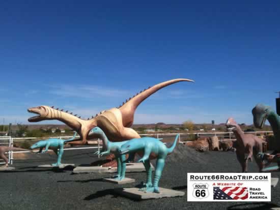 |
The Heward House of HolbrookOriginally opened in 1998 and recently re-opened in 2025, this is a lovely venue for a variety of events! If you're in need of a beautiful place with great art and scenery, this is it. A peaceful escape right here in Holbrook. Weddings, anniversaries, graduations, and much more. For more information, visit The Heward House of Holbrook on Facebook |
|
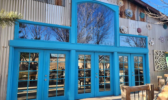 |
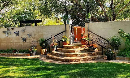 |
Petrified Forest National ParkMap showing the location of the Petrified Forest National Park in relation to Holbrook |
|
Entrance to the Petrified Forest National Park in Arizona, near Holbrook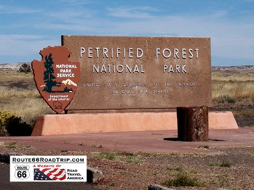 |
Arizona Road & Recreation Atlas  |
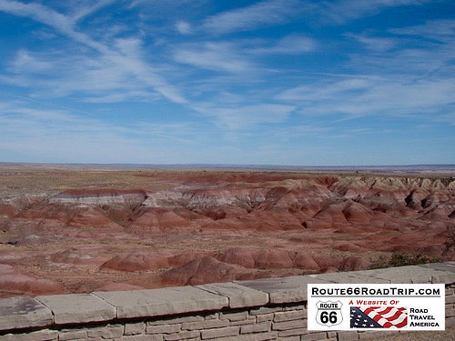
The Painted DesertThe Painted Desert near Holbrook, Arizona, directly on the path of Historic Route 66
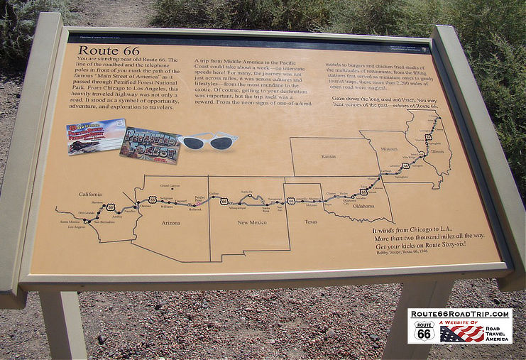
"Gaze down the long road and listen. You may hear echoes of the past ... echoes of Route 66"
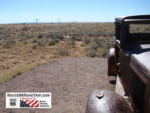
Remnants of Route 66 can be seen in this photo of the Painted Desert in Arizona, along with the rusted hulk of a 1930s Studebaker. |
Interactive Map of Holbrook, Arizona
More Information About Holbrook
Navajo County Historical Society & Museum
Earlier Times: Vintage Views along Route 66 in Holbrook
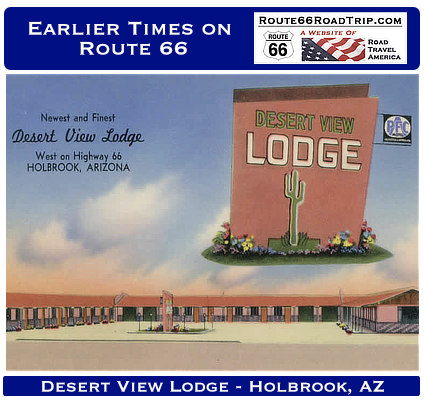
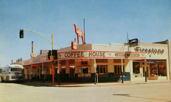
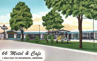
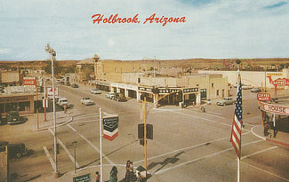
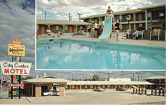
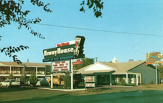
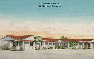
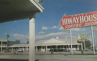
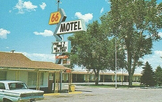
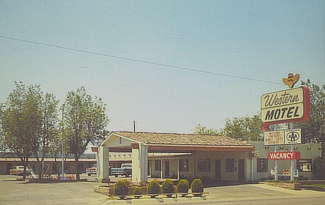
We have included below a sampling of our collection of vintage travel postcards dealing with Holbrook and Route 66. What was Route 66 like in its earlier years, as visitors drove around and across Holbrook on Hopi Drive and Navajo Boulevard? What did all the service stations, motels, coffee houses, drug stores and public buildings look like when they were new? What did the traveling public experience on the Mother Road? We wonder such things when we travel Route 66 today. Those earlier times in the 1930s, 40s and 50s were not always captured on film. But the use of colorful postcards was common in those decades. These portray the historic road in its prime and help us to visualize, and appreciate, "earlier times" as we drive Route 66 today across Holbrook. |
||||||||||||
|
||||||||||||
|
||||||||||||
Popular Destinations Near Route 66 on Our Other Site |
|||
 |
 |
 |
 |
