Route 66 2026 Visitors Guide for Williams, Arizona
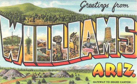 |
We have traveled Historic Route 66 across Arizona multiple times over the years, both eastbound and westbound.
Some of the journey is on I-40, which parallels the old Route 66 in many places. We always drive the segments of the Mother Road where it still remains. Exits to Route 66 are marked in many locales.
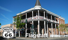
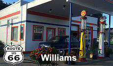
One of our favorite places and scenes along the Mother Road is Williams, Arizona, west of Flagstaff.
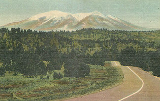
Founded in 1882, Williams was named for Bill Williams Mountain, the volcanic peak that rises above it. The mountain has long been important to native peoples of the region including the Havasupai, Hualapai, Yavapai and Hopi.
Williams is located just an hour south of the Grand Canyon South Rim and is known as the “Gateway to the Grand Canyon” because of the variety of lodging choices, activities for the whole family, its connection with Historic Route 66, and plenty of outdoor recreation to enjoy.
The historic Grand Canyon Railway ferries hundreds of thousands of tourists every year from Williams to and from the Canyon. The Kaibab National Forest and the Bill Williams Mountain area provide ample opportunities for camping, hiking and outdoor adventures.
Map showing the location of Williams, Arizona on Historic U.S. Route 66

A Route 66 Stopover in Williams, Arizona and the Grand Canyon
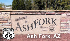
From Flagstaff Historic Route 66 passed through Williams, the jumping off point to the Grand Canyon, followed by Ash Fork, and then into Seligman. The last section of Route 66 nationally was decommissioned through Williams in 1985, replaced by I-40.
| 40 years later: Williams marks 40th anniversary of Route 66 bypass Williams-Grand Canyon News - 12/10/2024 |
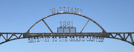
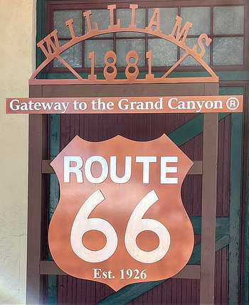
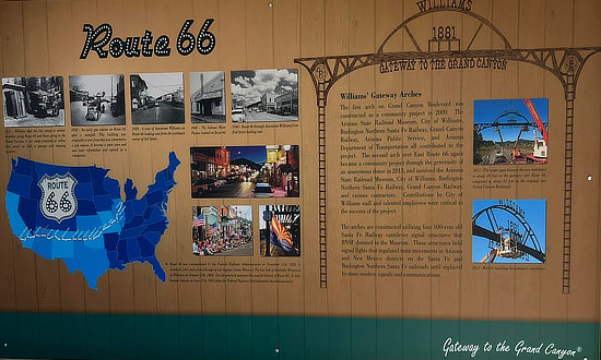
Williams, ArizonaWilliams, Arizona was founded in 1881, and is today known as the "Gateway to the Grand Canyon".
|
Arizona Road & Recreation Atlas  |
Lodging and Dining Options in Williams
 |
|
Hotels in Williams, Arizona with traveler reviews
|
Scenes Around Williams, Arizona |
||
Pete's Gas Station Museum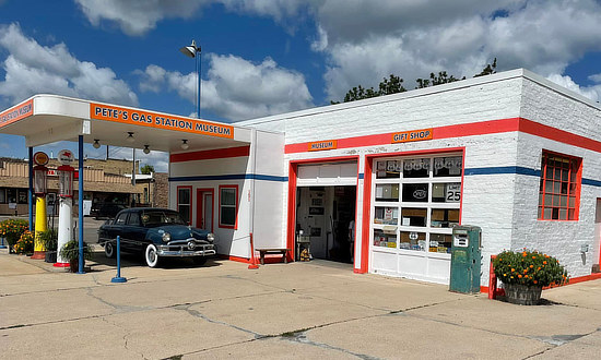 |
Grand Canyon Hotel in Williams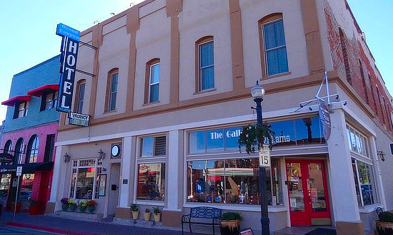 |
|
Williams Railroad Station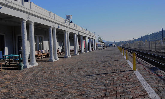 |
Bearizona in Williams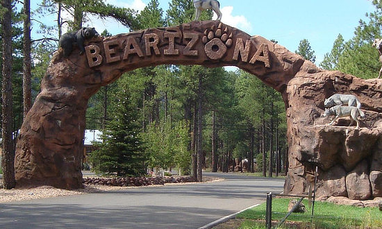 |
|
Shown below is a mural in Williams ... Last town by-passed by I-40 on October 13, 1984.

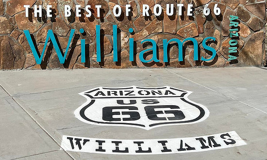 |
 |
Visitor Information Center at 200 W. Railroad Avenue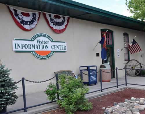 |
EZ66 Guide for Travelers (5th Edition) by Noted Route 66 Authority Jerry McClanahan 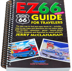  |
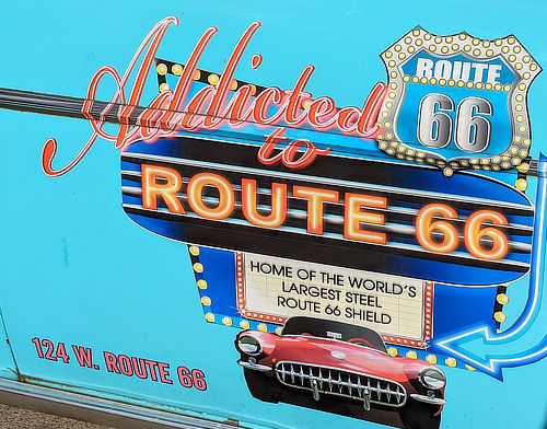
| Addicted to 66 Deals ... Home of the world's largest steel Route 66 shield sign ... 124 W. Route 66 in Williams | |
 |
 |
Route 66 JDM Classic Car Show
For the 2026 show, the Route 66 JDM Classic welcomes ALL classic Japanese cars and trucks (2001 and older). Whether you own a Datsun/Nissan, Honda/Acura, Toyota/Lexus, Mazda, Subaru, Mitsubishi, Isuzu – or even a vintage Japanese motorcycle – as long as your Japanese classic is 2001 or older, we’d love to see you there! “Mission Control” for the Route 66 JDM Classic is easy to find – Look for the Dairy Queen at 603 Historic Route 66. That’s where you’ll want to be Saturday morning to park! Dates: October 2-3, 2026 More Info: Website |
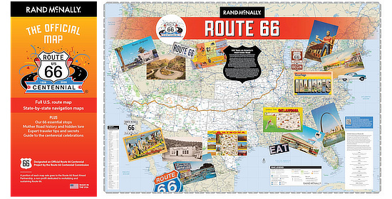
Route 66 Centennial MapCelebrate 100 years on America's most iconic road with The Official Map of the Route 66 Centennial. This definitive travel guide and cherished keepsake honors the Mother Road's 100th Anniversary (1926-2026). The map has been designated an Official Route 66 Centennial Project by the Route 66 Centennial Commission. |
City of Williams Centennial 1st Annual Car Drop
Ring in the 2026 New Year with a Historic Celebration in Williams, Arizona! Join us in the last town bypassed by I-40 and the first to celebrate the Route 66 Centennial in style! Experience the rich history and vibrant spirit of America's most iconic highway with:
Be part of history as the City of Williams lights up the night and honors the legacy of the Mother Road. Don't miss this unforgettable New Year's Eve celebration in the heart of Route 66! More Info from ExperienceWilliams: Website and Facebook Date: December 31, 2025 - January 1, 2026 |
Side Trip from Route 66 to Grand Canyon National Park
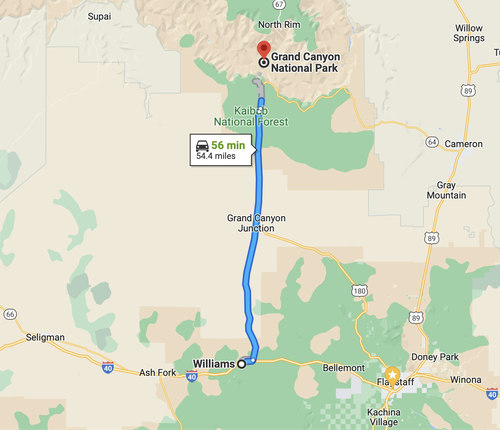 Map showing a road trip from Route 66 in Williams north to the Grand Canyon Map showing a road trip from Route 66 in Williams north to the Grand Canyon |
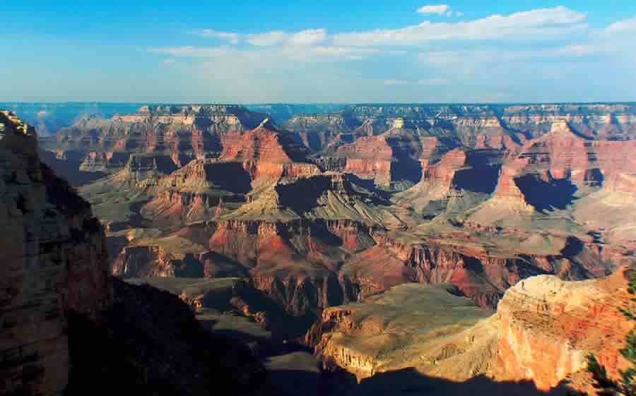
Grand Canyon National Park is located in Arizona near Flagstaff and Williams, and is centered on a Colorado River canyon that is 277 river miles long, up to 18 miles wide, and a mile deep. The Park is one of the world's most popular natural attractions, with attendance exceeding 6 million visitors a year.
Many travelers on Historic Route 66 make a side-trip to visit the Grand Canyon as the South Rim of the park lies only 54 miles north of Route 66 from Williams. The park is also located about 75 miles northwest of Flagstaff.
There are two access routes to the Grand Canyon, the most popular one being Highway 64 north from Williams, located on Interstate 40 and Route 66.
Those visitors approaching the park from Flagstaff will take U.S. Highway 180 northwest from Flagstaff to Valle, and then U.S. 64 north to the park.
Another mode of transportation into the park is via the Grand Canyon Railway, which runs from Williams directly into the park. The railroad has operated since 1901.
The South Rim of the canyon, with an elevation of about 7,000 feet, is open year-round, while the North Rim is open only part of the year, during the warmer months. Route 66 travelers typically visit only the South Rim.
Read more about a Route 66 Side Trip from Williams to the Grand Canyon
Best-Selling Route 66 Books and Maps at our Amazon Store |
|
| Route 66 Travel Guide - 202 Amazing Places by Mark Watson  |
Route 66 Full-throttle Adventure Handbook, by Drew Knowles  |
| EZ66 Guide for Travelers (5th Edition) by Jerry McClanahan  |
Rand McNally 2026 Road Atlas Large Scale Spiral Bound 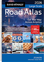 |
About These ProductsThe Route 66 Road Trip website is a participant in the Amazon Services LLC Associates Program, an affiliate advertising program designed to provide a means for sites to earn fees by advertising and linking to Amazon.com and affiliated sites. Amazon offers a commission on products sold through their affiliate links. There is no additional cost to you. |
|
Interactive Map of the Williams, Arizona Area
Driving West |
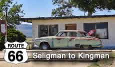 |
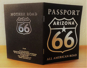
Arizona Route 66 Passport
The Arizona Route 66 Passport is your guide into the heart of America. Cruise along the Mother Road, collecting stamps at locations along the way. Each passport comes with a free Traveler's Guide. It is published by the Historic Route 66 Association of Arizona, a non-profit organization dedicated to the preservation, protection, and promotion of both the surface, and the memories along Arizona’s portion of Route 66. Proceeds from the sale of Passports benefit this cooperative marketing initiative. Purchase an Arizona Route 66 Passport online or pick one up at the locations where stamps are given. |
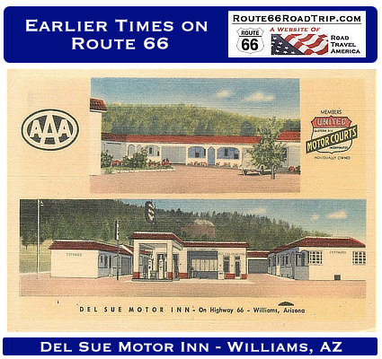
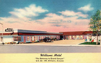
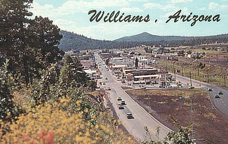
Earlier Times: Vintage Views along Route 66 in Williams
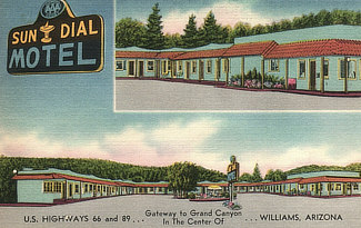
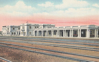
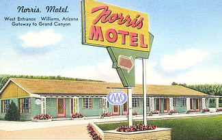
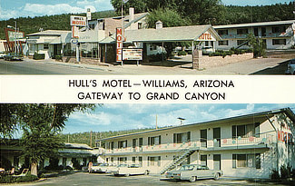
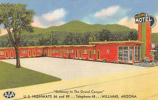
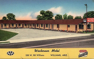
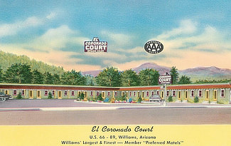
We have included below a sampling of our collection of vintage travel postcards dealing with Williams and Route 66. What was Route 66 like in its earlier years, as visitors drove around and across Williams? What did all the service stations, motels and public buildings look like when they were new? What did the traveling public experience on the Mother Road? We wonder such things when we travel Route 66 today. Those earlier times in the 1930s, 40s and 50s were not always captured on film. But the use of colorful postcards was common in those decades. These portray the historic road in its prime and help us to visualize, and appreciate, "earlier times" as we drive Route 66 today across Williams. |
||||||||||||
|
MORE ARIZONA ROUTE 66 |
|||
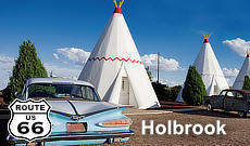 |
 |
 |
 |
 |
 |
 |
 |
Trending Road Trip Ideas in Arizona and California |
|||
 |
 |
 |
 |
